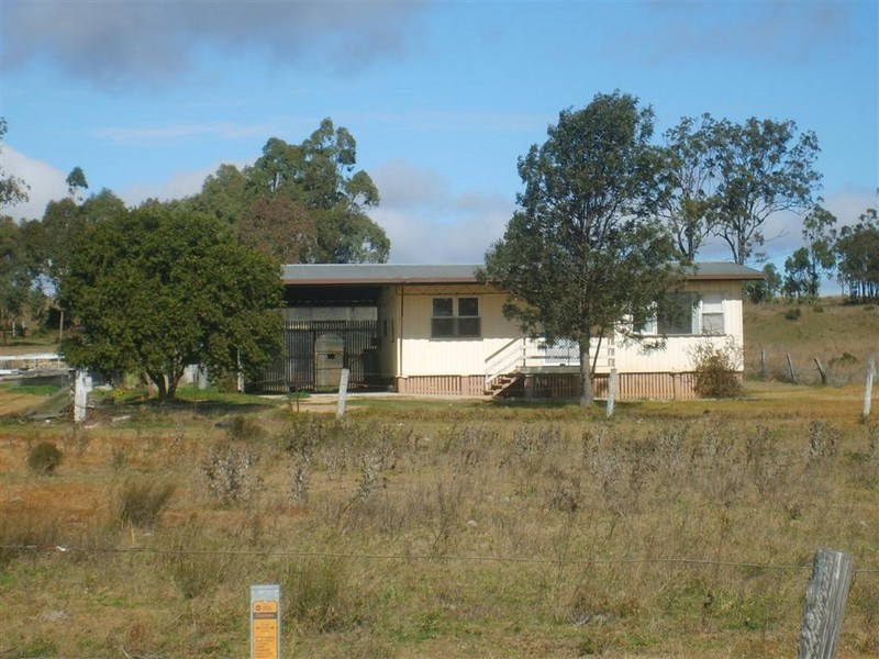
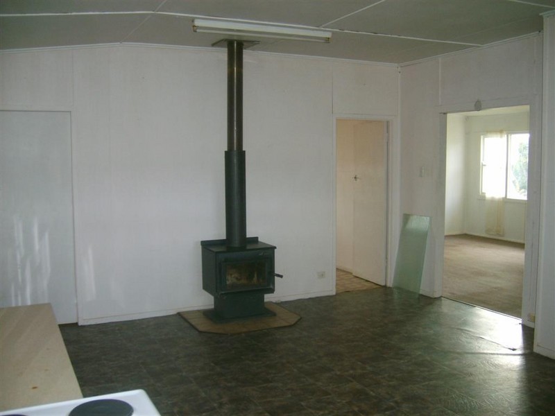
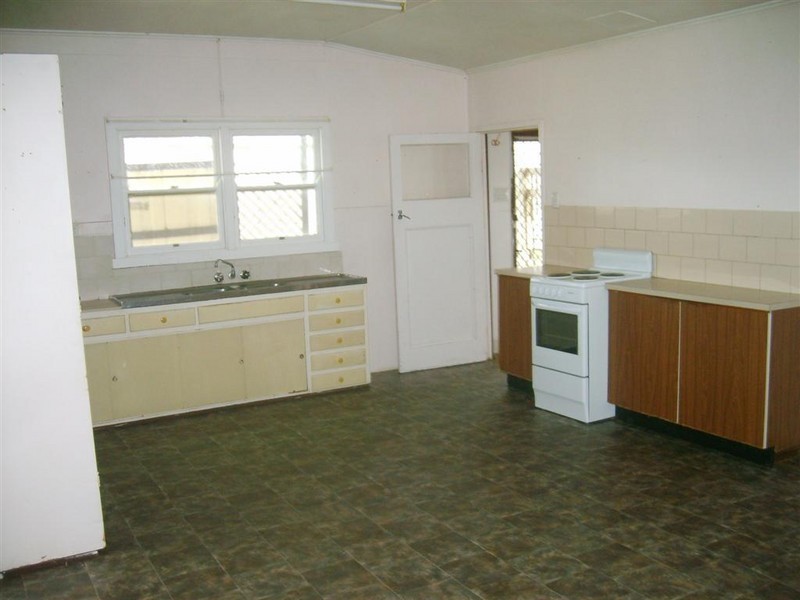
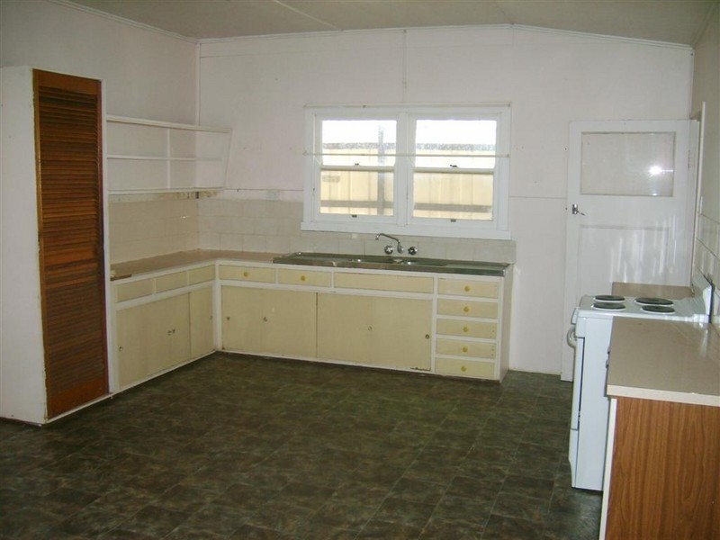
There are approximately 17,238 people living in Warwick but… who are they?
40
48%
52%
Suburb Stats
$884/WK
$215/WK
$325/WK
Value of property in Warwick and nearby suburbs
Warwick
Upper Yarraman
Gleneagle
Stockleigh
Average Home Price$314,784Average Rental Price$252Household Size2.5
Average Home Price$255,000Average Rental Price$239Household Size2.3
Average Home Price$435,252Average Rental Price$355Household Size2.8
Average Home Price$567,645Average Rental Price$422Household Size3.2
Water Useper year per person
0.62mln. litres
State Average 0.68 mln. litres
Nat. Average 0.74 mln. litres
Greenhouse Pollutionper year per person
17.3tonnes
State Average 18.38 tonnes
Nat. Average 20.3 tonnes
Dwelling Types
91%
6%
2%
Most Common Suburb Professions
16% Labourers…
14% Technicia…
13% Managers…
12% Clerical…
Nearby shopping: village shopping centre, rose city shopping world centre management
Nearby schools: agnew school, warwick state high school, glennie heights preschool, warwick central school
Nearby cafes: brysons place, char-belas restaurant, the cherry tree coffee & dining
Nearby doctors: southern downs dental - dr. mike geisel, timothy williams dr, condamine medical centre - dr john kiss, condamine medical centre - dr aleta slattery
Nearby hospitals: southern downs district health services, condamine medical centre
Nearby cinemas: warwick twin cinema
Nearby pharmacies: discount drug store, warwick friendly society pharmacies, john duggan amcal chemist, warwick friendly society pharmacy
Nearby police stations: warwick police station
Nearby parks: leslie park, australiana park, warwick bowling club inc, tullock park
Nearby restaurants: mussel's restaurant, kfc warwick, shalimar indian restaurant, brysons place