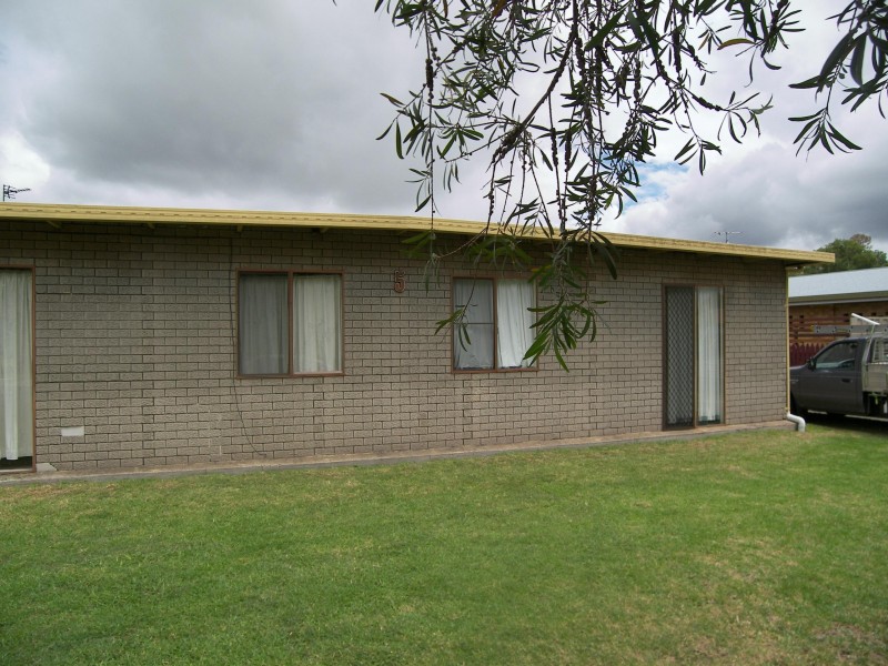
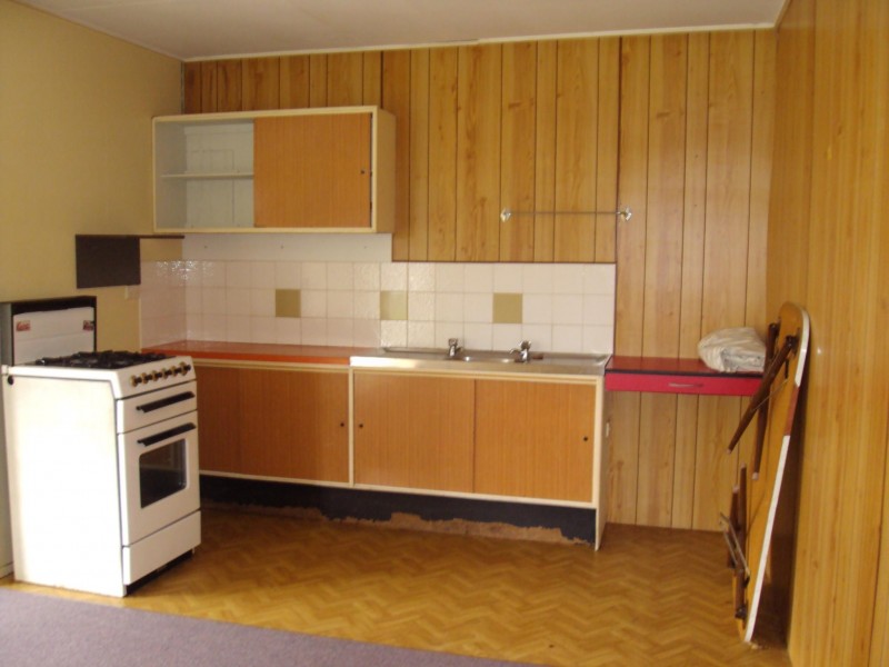
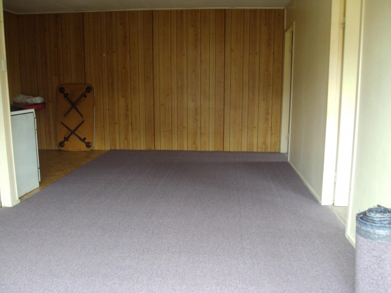
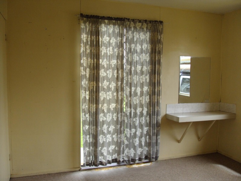
There are approximately 17,238 people living in Warwick but… who are they?
40
48%
52%
Suburb Stats
$884/WK
$215/WK
$325/WK
Value of property in Warwick and nearby suburbs
Warwick
Upper Yarraman
Dalveen
Proston
Average Home Price$314,784Average Rental Price$252Household Size2.5
Average Home Price$255,000Average Rental Price$239Household Size2.3
Average Home Price$356,867Average Rental Price$265Household Size2.1
Average Home Price$138,375Average Rental Price$198Household Size2
Water Useper year per person
0.62mln. litres
State Average 0.68 mln. litres
Nat. Average 0.74 mln. litres
Greenhouse Pollutionper year per person
17.3tonnes
State Average 18.38 tonnes
Nat. Average 20.3 tonnes
Dwelling Types
91%
6%
2%
Most Common Suburb Professions
16% Labourers…
14% Technicia…
13% Managers…
12% Clerical…
Nearby shopping: rose city shopping world centre management, village shopping centre
Nearby schools: killarney school of dance, a country garden early childhood centres, warwick community kindergarten, glennie heights state school
Nearby cafes: the cherry tree coffee & dining, char-belas restaurant, brysons place
Nearby doctors: condamine medical centre - dr aleta slattery, condamine medical centre - dr louise clarke, condamine medical centre - dr john kiss, dr sam wong
Nearby hospitals: southern downs district health services, condamine medical centre
Nearby cinemas: warwick twin cinema
Nearby pharmacies: warwick friendly society pharmacies, discount drug store, warwick friendly society pharmacy, john duggan amcal chemist
Nearby police stations: warwick police station
Nearby parks: victoria park, tullock park, hamilton oval, warwick bowling club inc
Nearby restaurants: domino's pizza warwick, red rooster warwick rose city foodcourt, mcdonald's warwick, char-belas restaurant