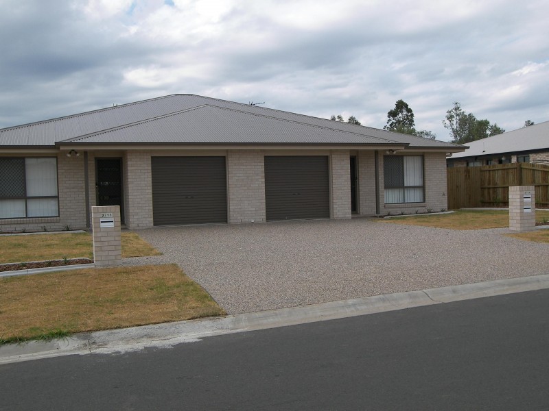
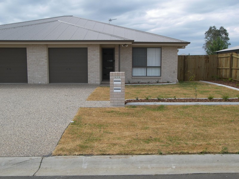
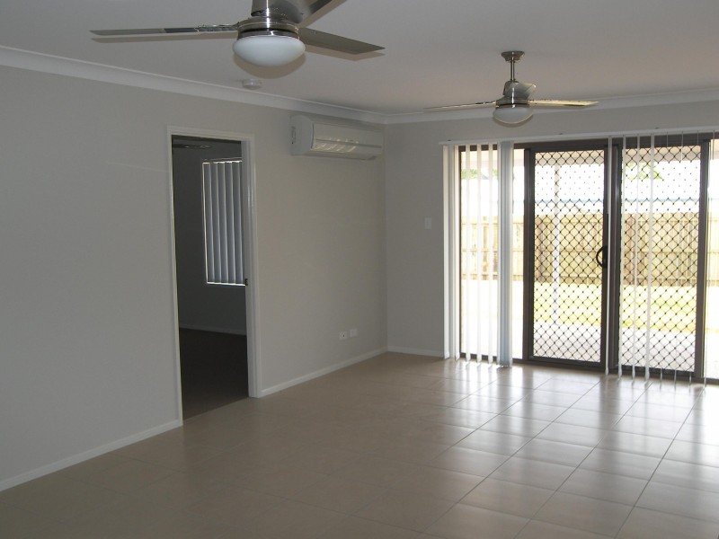
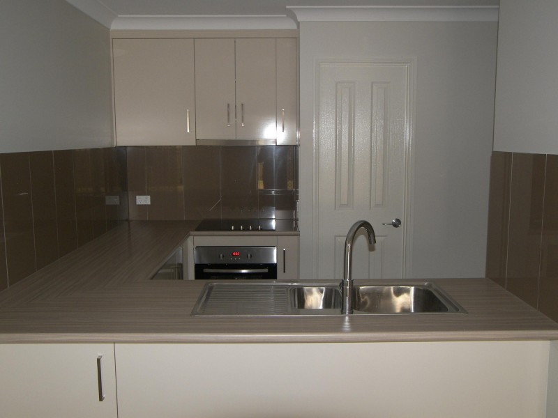
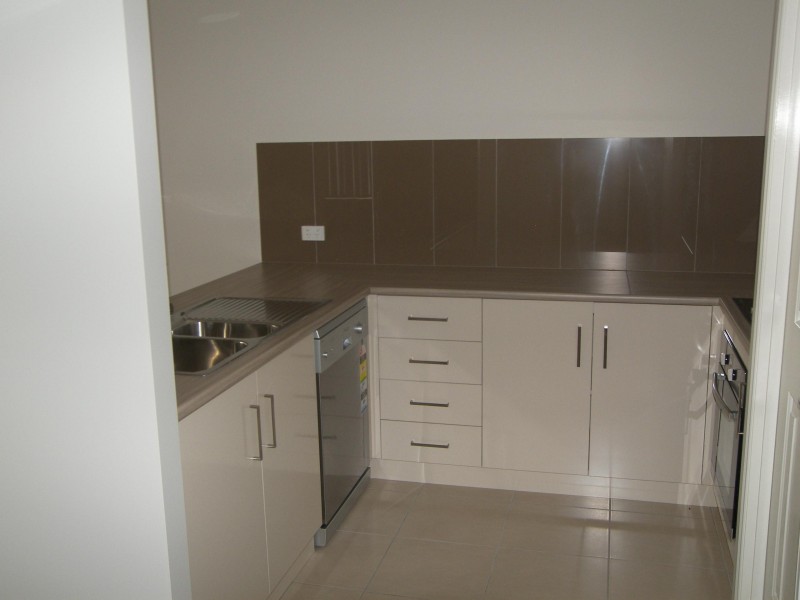
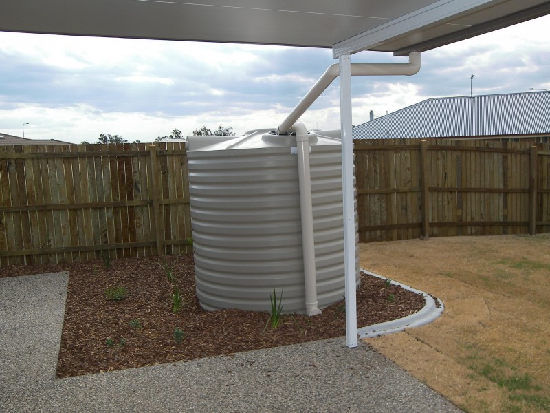
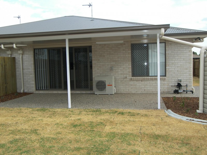
There are approximately 17,238 people living in Warwick but… who are they?
40
48%
52%
Suburb Stats
$884/WK
$215/WK
$325/WK
Value of property in Warwick and nearby suburbs
Warwick
Kooralbyn
Taabinga
Clintonvale
Average Home Price$314,784Average Rental Price$252Household Size2.5
Average Home Price$316,393Average Rental Price$249Household Size2.8
Average Home Price$322,889Average Rental Price$330Household Size2.5
Average Home Price$3,366,667Average Rental Price$333Household Size2.5
Water Useper year per person
0.62mln. litres
State Average 0.68 mln. litres
Nat. Average 0.74 mln. litres
Greenhouse Pollutionper year per person
17.3tonnes
State Average 18.38 tonnes
Nat. Average 20.3 tonnes
Dwelling Types
91%
6%
2%
Most Common Suburb Professions
16% Labourers…
14% Technicia…
13% Managers…
12% Clerical…
Nearby shopping: rose city shopping world centre management, village shopping centre
Nearby schools: australian college of phytotherapy pty ltd, glennie heights state school, warwick christian college, st mary's primary school
Nearby cafes: brysons place, char-belas restaurant, the cherry tree coffee & dining
Nearby doctors: condamine medical centre - dr ross hetherington, dr sam wong, condamine medical centre - dr evan ackermann, condamine medical centre - dr aleta slattery
Nearby hospitals: southern downs district health services, condamine medical centre
Nearby cinemas: warwick twin cinema
Nearby pharmacies: john duggan amcal chemist, warwick friendly society pharmacies, warwick friendly society pharmacy, discount drug store
Nearby police stations: warwick police station
Nearby parks: kahlers oasis caravan park, victoria park, tullock park, warwick bowling club inc
Nearby restaurants: chung hing licensed chinese restaurant, eagle boys pizza, brysons place, mango camping