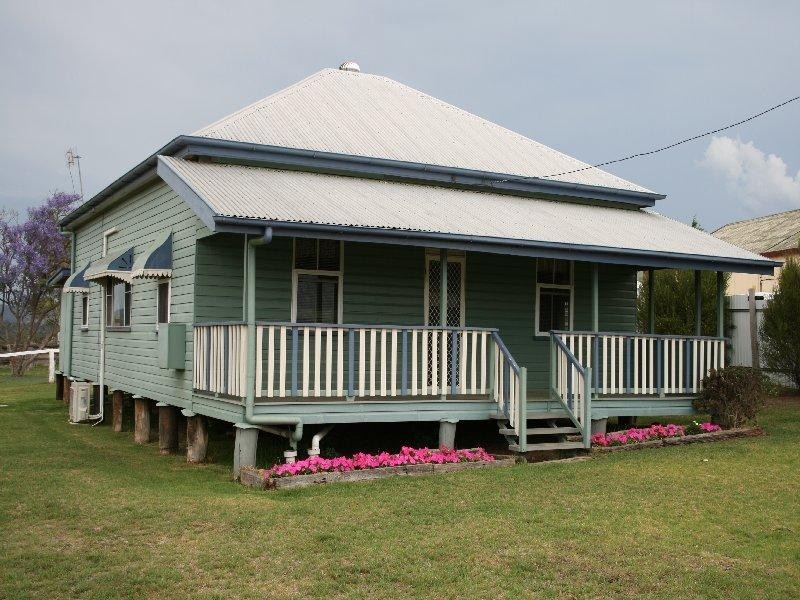
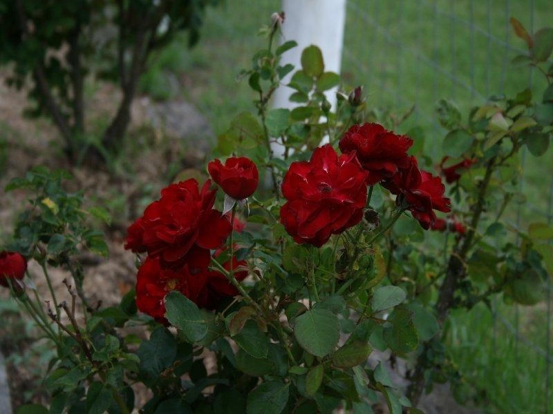
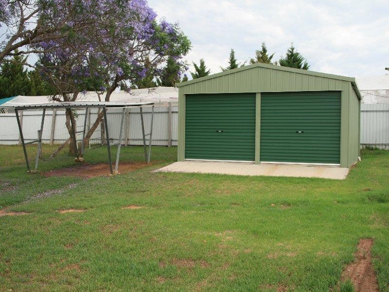
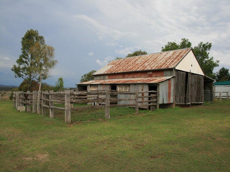
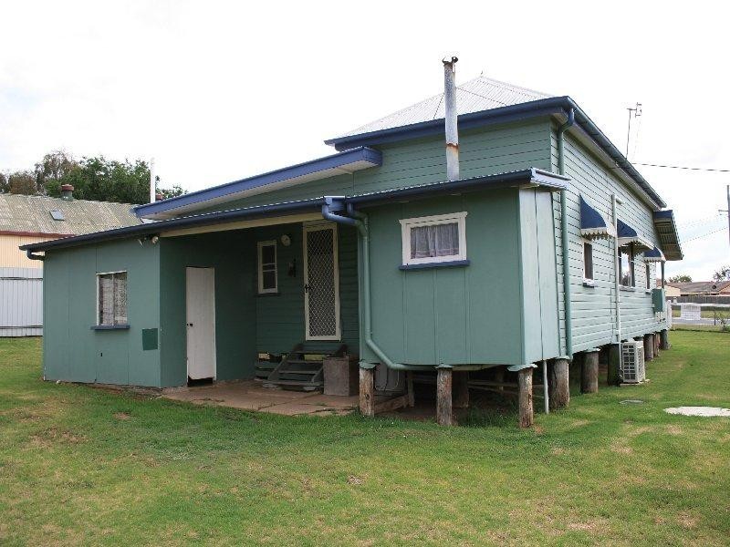
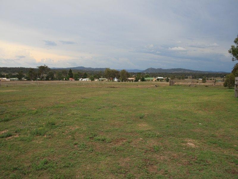
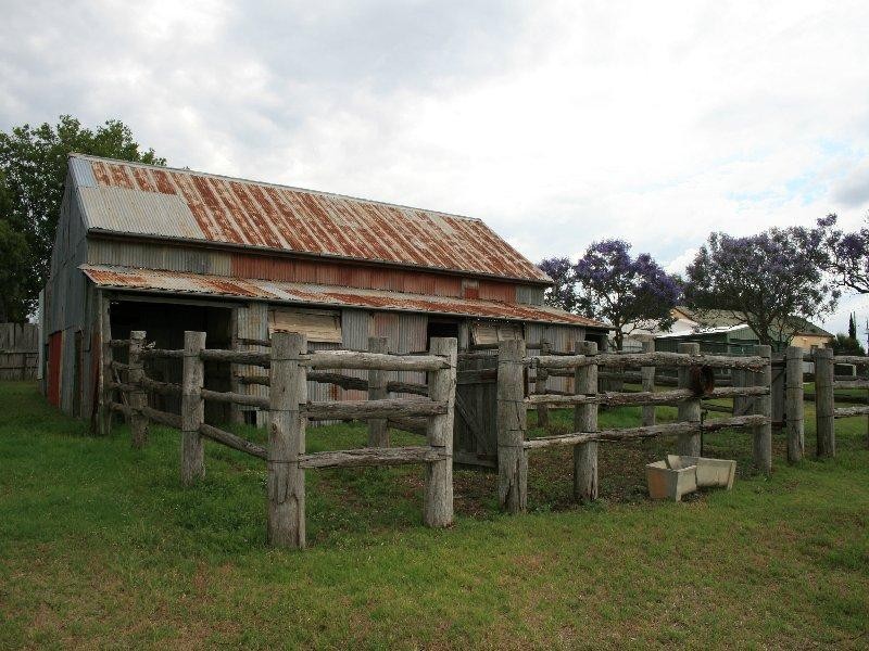
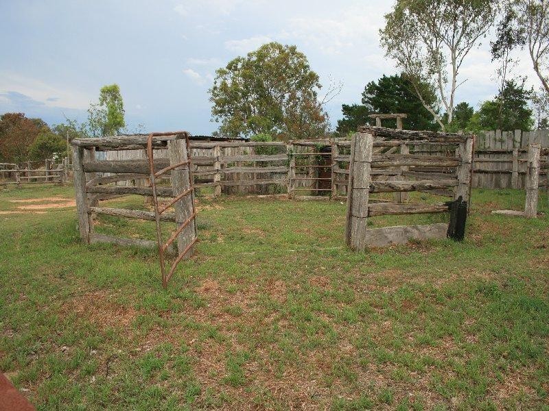
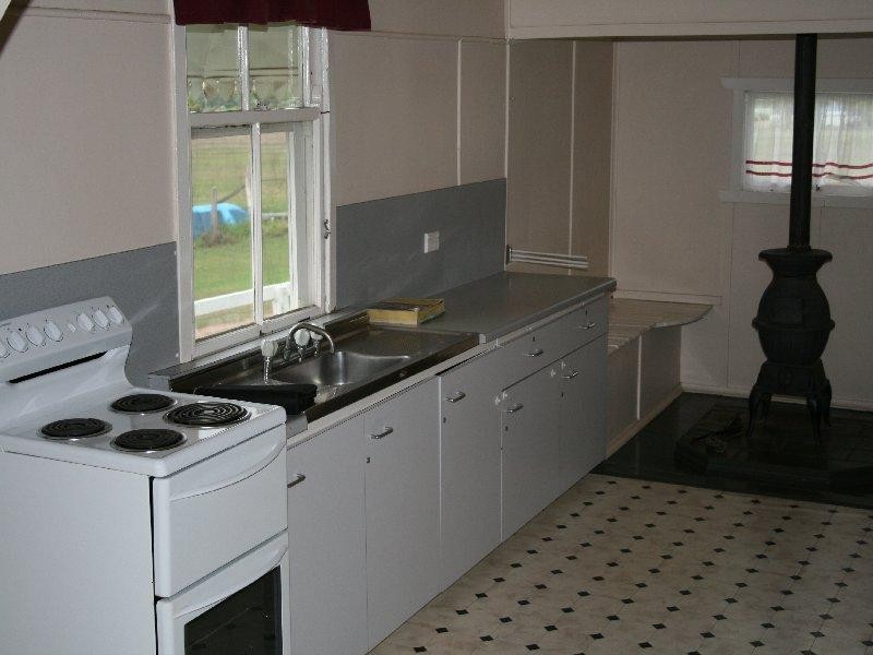
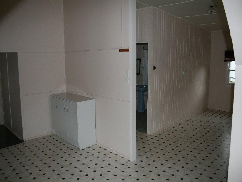
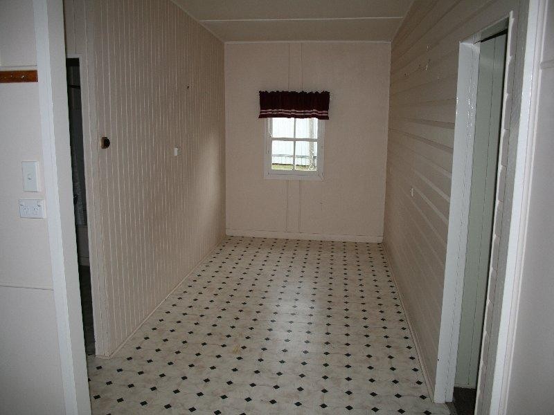
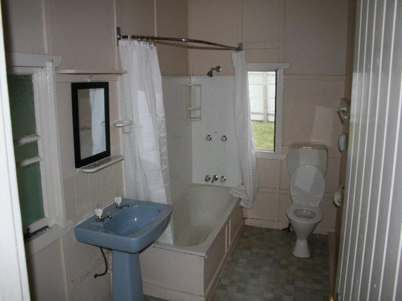
There are approximately 17,238 people living in Warwick but… who are they?
40
48%
52%
Suburb Stats
$884/WK
$215/WK
$325/WK
Value of property in Warwick and nearby suburbs
Warwick
Yarraman
Roma
Upper Yarraman
Average Home Price$314,784Average Rental Price$252Household Size2.5
Average Home Price$226,898Average Rental Price$217Household Size2.3
Average Home Price$369,082Average Rental Price$382Household Size2.6
Average Home Price$255,000Average Rental Price$239Household Size2.3
Water Useper year per person
0.62mln. litres
State Average 0.68 mln. litres
Nat. Average 0.74 mln. litres
Greenhouse Pollutionper year per person
17.3tonnes
State Average 18.38 tonnes
Nat. Average 20.3 tonnes
Dwelling Types
91%
6%
2%
Most Common Suburb Professions
16% Labourers…
14% Technicia…
13% Managers…
12% Clerical…
Nearby shopping: village shopping centre, rose city shopping world centre management
Nearby schools: australian college of phytotherapy pty ltd, glennie heights preschool, a country garden early childhood centres, warwick central school
Nearby cafes: brysons place, char-belas restaurant, the cherry tree coffee & dining
Nearby doctors: the podiatrist, southern downs dental, guy street dental, condamine medical centre-dr lynton hudson
Nearby hospitals: condamine medical centre, southern downs district health services
Nearby cinemas: warwick twin cinema
Nearby pharmacies: warwick friendly society pharmacy, discount drug store, john duggan amcal chemist, warwick friendly society pharmacies
Nearby police stations: warwick police station
Nearby parks: leslie park, hamilton oval, australiana park, kahlers oasis caravan park
Nearby restaurants: char-belas restaurant, warwick rsl services & citizens memorial club, mcdonald's warwick, the cherry tree coffee & dining