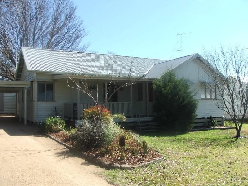
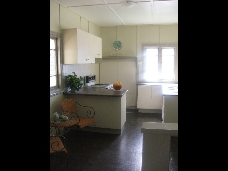
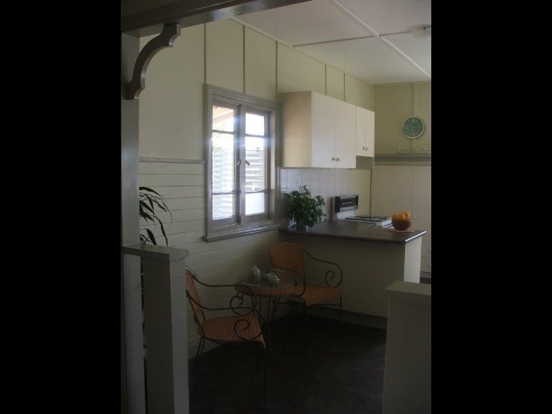
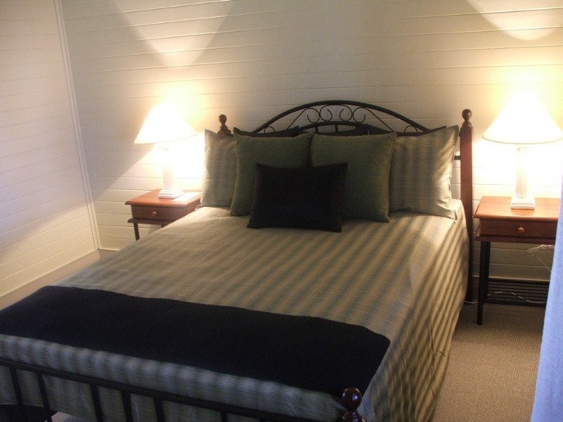
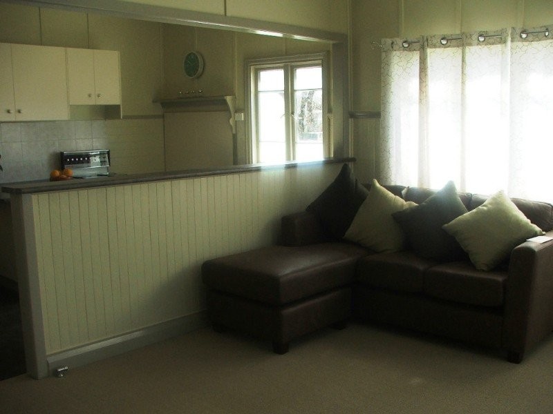
There are approximately 17,238 people living in Warwick but… who are they?
40
48%
52%
Suburb Stats
$884/WK
$215/WK
$325/WK
Value of property in Warwick and nearby suburbs
Warwick
Hazeldean
Cedar Vale
Yarraman
Average Home Price$314,784Average Rental Price$252Household Size2.5
Average Home Price$505,857Average Rental Price$461Household Size2.5
Average Home Price$473,627Average Rental Price$430Household Size2.8
Average Home Price$226,898Average Rental Price$217Household Size2.3
Water Useper year per person
0.62mln. litres
State Average 0.68 mln. litres
Nat. Average 0.74 mln. litres
Greenhouse Pollutionper year per person
17.3tonnes
State Average 18.38 tonnes
Nat. Average 20.3 tonnes
Dwelling Types
91%
6%
2%
Most Common Suburb Professions
16% Labourers…
14% Technicia…
13% Managers…
12% Clerical…
Nearby shopping: rose city shopping world centre management, village shopping centre
Nearby schools: warwick central school, st mary's primary school, glennie heights state school, warwick christian college
Nearby cafes: the cherry tree coffee & dining, brysons place, char-belas restaurant
Nearby doctors: condamine medical centre - dr evan ackermann, toowoomba orthodontists, condamine medical centre - dr louise clarke, condamine medical centre - dr john kiss
Nearby hospitals: condamine medical centre, southern downs district health services
Nearby cinemas: warwick twin cinema
Nearby pharmacies: john duggan amcal chemist, warwick friendly society pharmacy, discount drug store, warwick friendly society pharmacies
Nearby police stations: warwick police station
Nearby parks: leslie park, tullock park, victoria park, warwick bowling club inc
Nearby restaurants: red rooster warwick rose city foodcourt, eagle boys pizza, warwick rsl services & citizens memorial club, mussel's restaurant