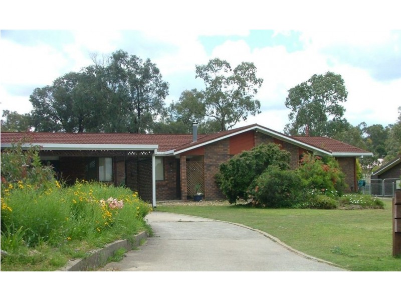
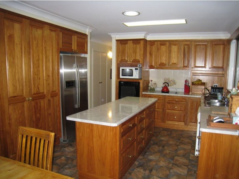
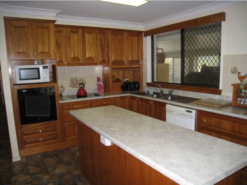
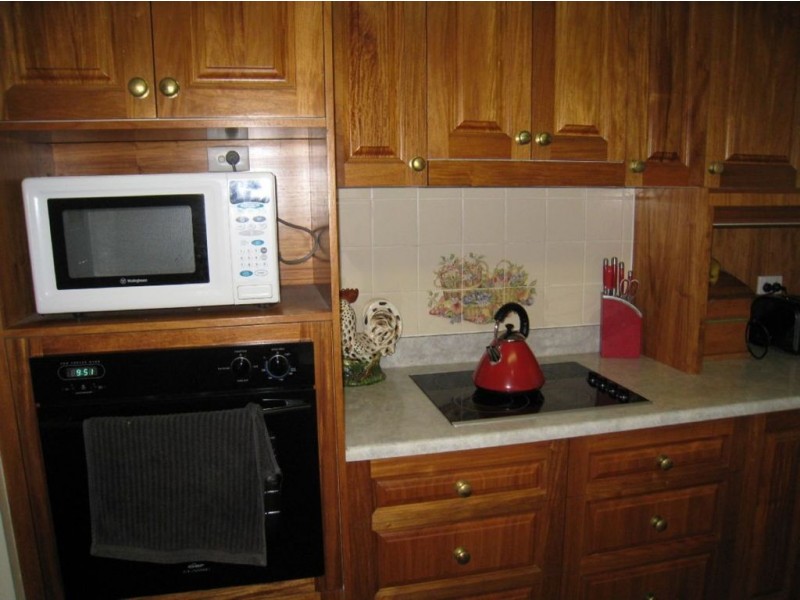
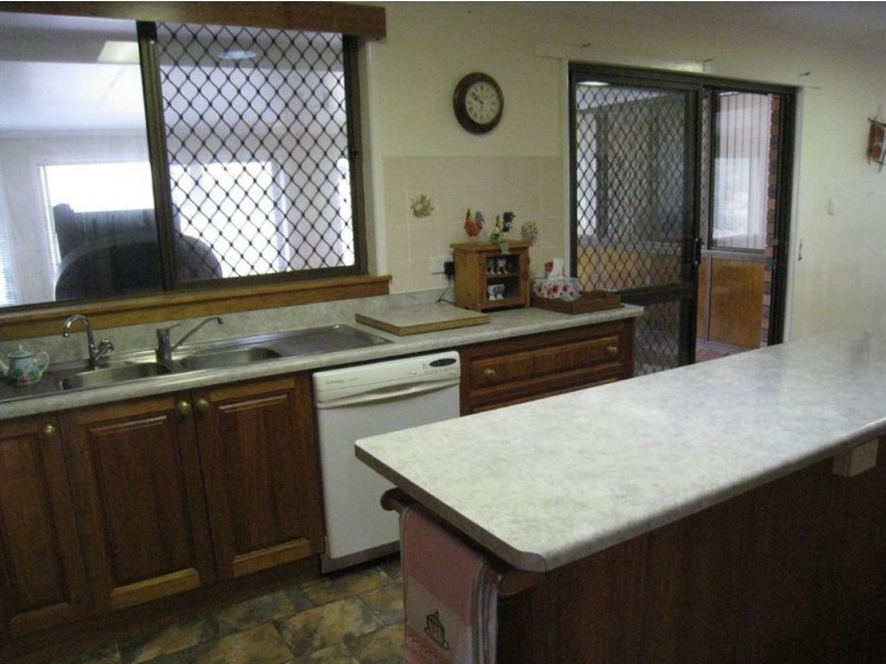
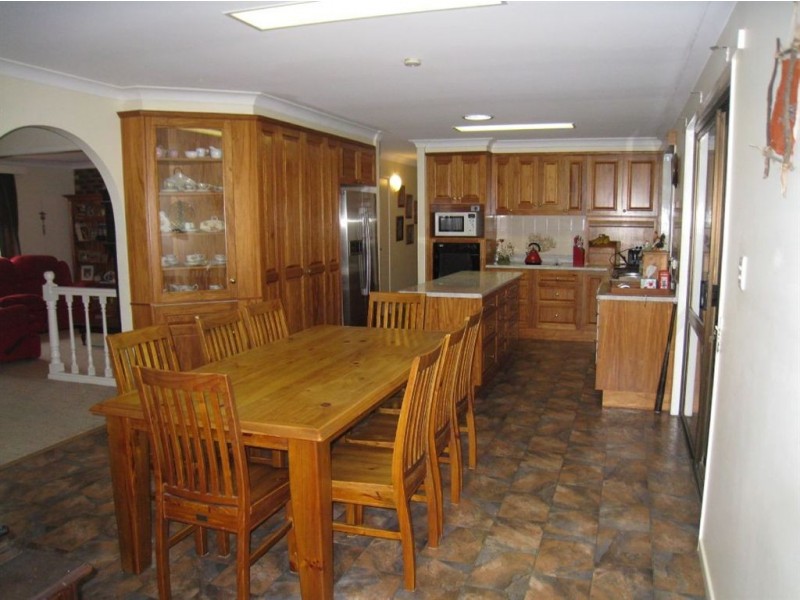
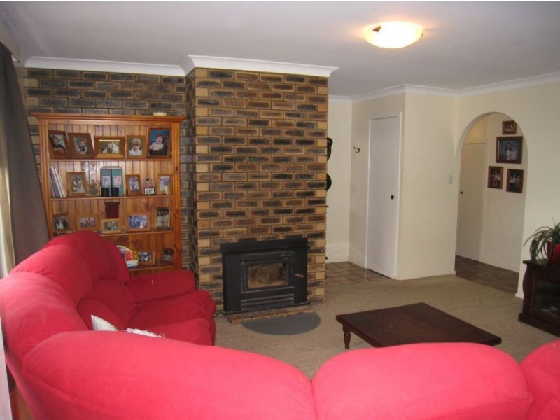
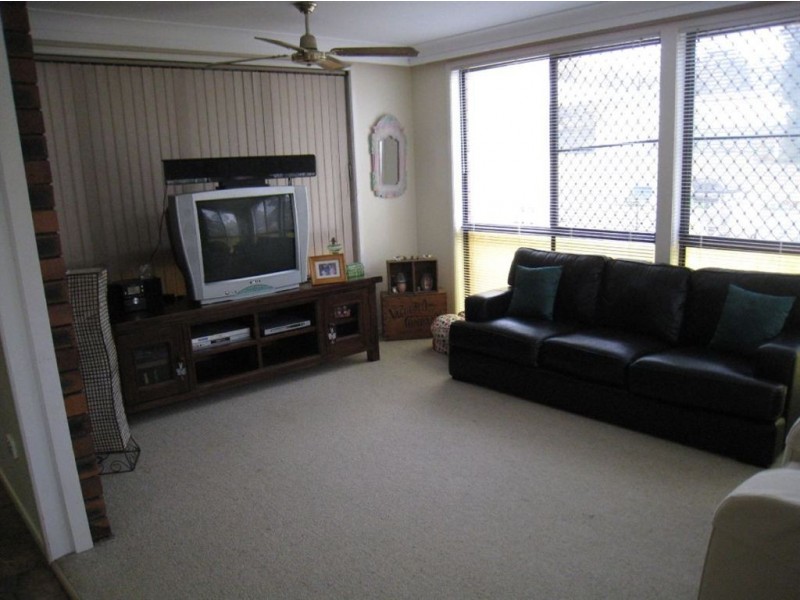
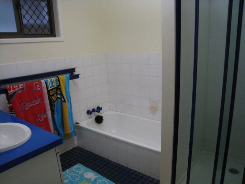
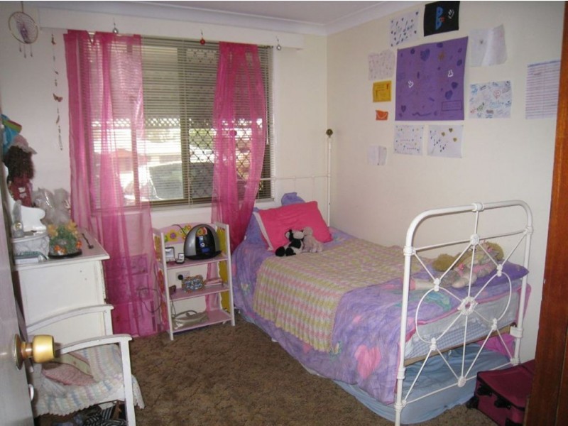
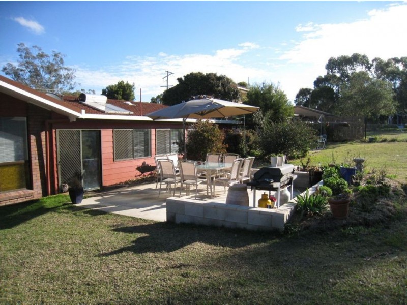
There are approximately 17,238 people living in Warwick but… who are they?
40
48%
52%
Suburb Stats
$884/WK
$215/WK
$325/WK
Value of property in Warwick and nearby suburbs
Warwick
Millmerran Woods
Proston
Yarraman
Average Home Price$314,784Average Rental Price$252Household Size2.5
Average Home Price$167,500Average Rental Price$0Household Size2.5
Average Home Price$138,375Average Rental Price$198Household Size2
Average Home Price$226,898Average Rental Price$217Household Size2.3
Water Useper year per person
0.62mln. litres
State Average 0.68 mln. litres
Nat. Average 0.74 mln. litres
Greenhouse Pollutionper year per person
17.3tonnes
State Average 18.38 tonnes
Nat. Average 20.3 tonnes
Dwelling Types
91%
6%
2%
Most Common Suburb Professions
16% Labourers…
14% Technicia…
13% Managers…
12% Clerical…
Nearby shopping: village shopping centre, rose city shopping world centre management
Nearby schools: warwick state high school, aikido aiki kai warwick - southern queensland, killarney school of dance, a country garden early childhood centres
Nearby cafes: char-belas restaurant, brysons place, the cherry tree coffee & dining
Nearby doctors: friendly feet podiatry, guy street dental, condamine medical centre - dr john kiss, dr toby cohen
Nearby hospitals: condamine medical centre, southern downs district health services
Nearby cinemas: warwick twin cinema
Nearby pharmacies: warwick friendly society pharmacy, discount drug store, john duggan amcal chemist, warwick friendly society pharmacies
Nearby police stations: warwick police station
Nearby parks: victoria park, warwick bowling club inc, kahlers oasis caravan park, hamilton oval
Nearby restaurants: warwick rsl services & citizens memorial club, the cherry tree coffee & dining, domino's pizza warwick, char-belas restaurant