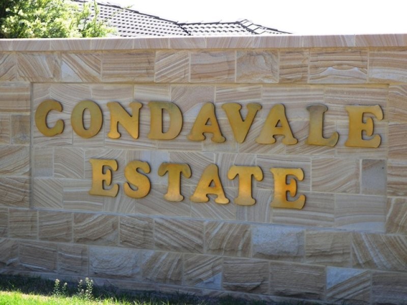
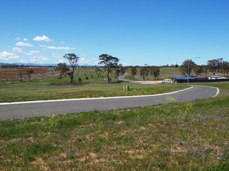
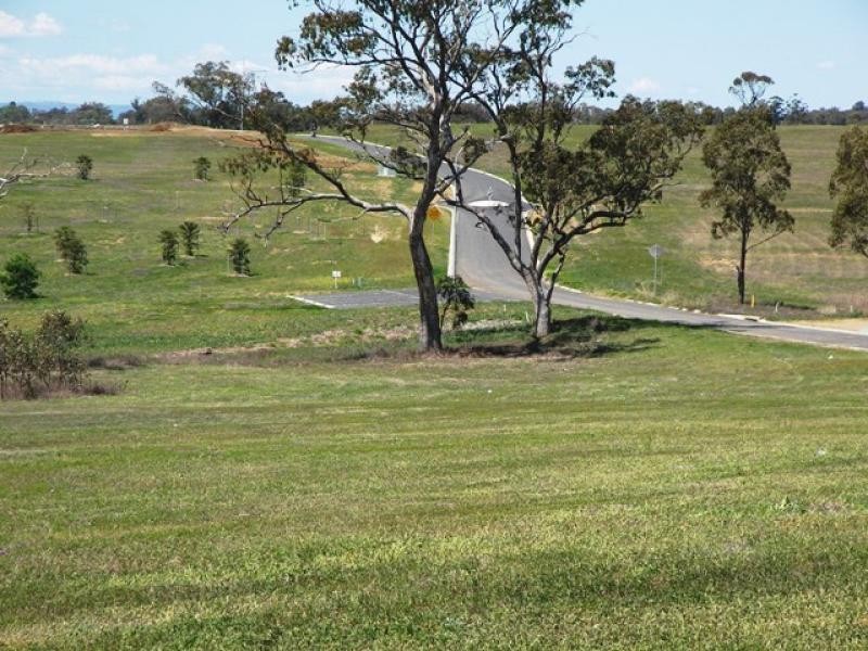
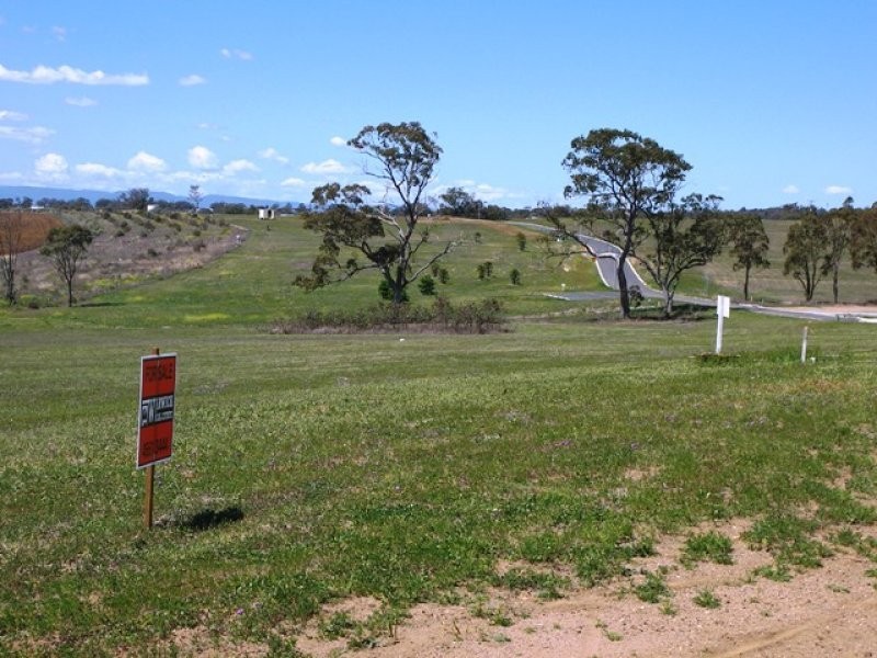
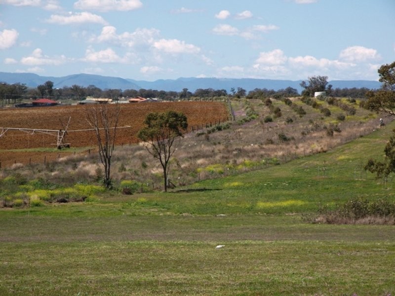
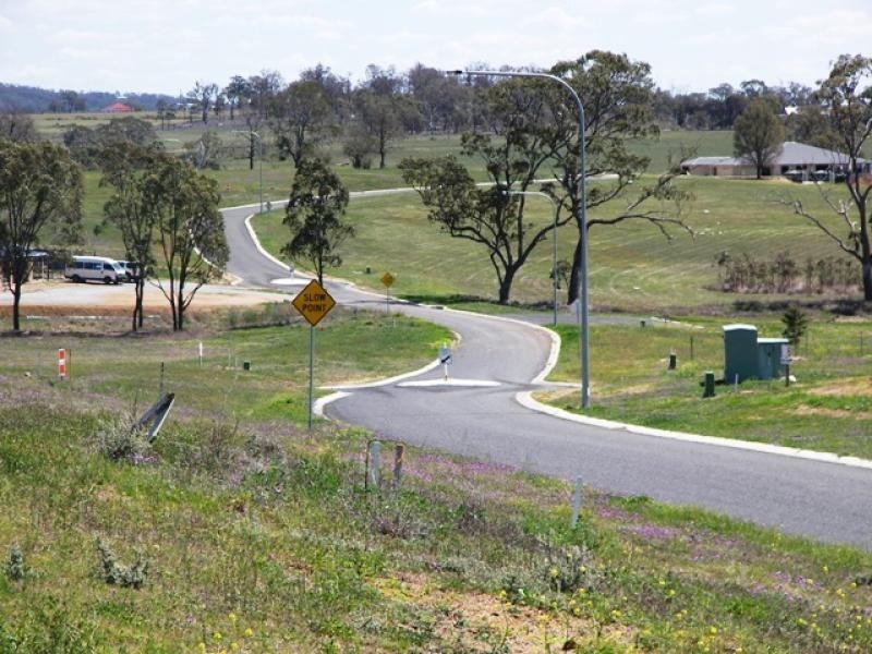
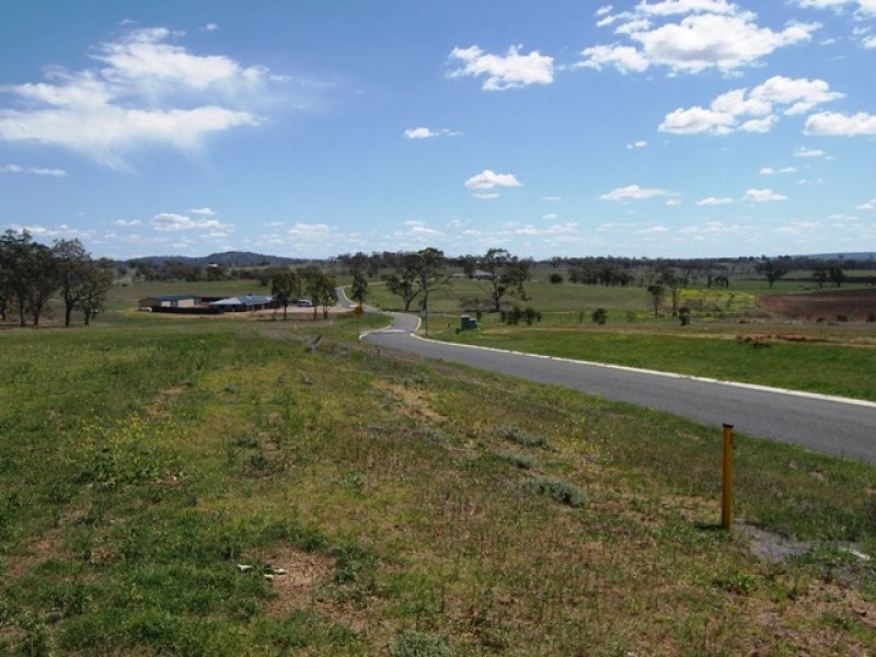
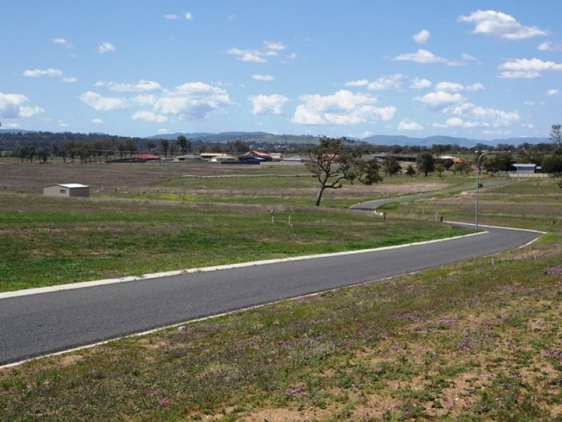
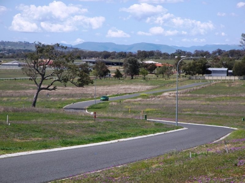
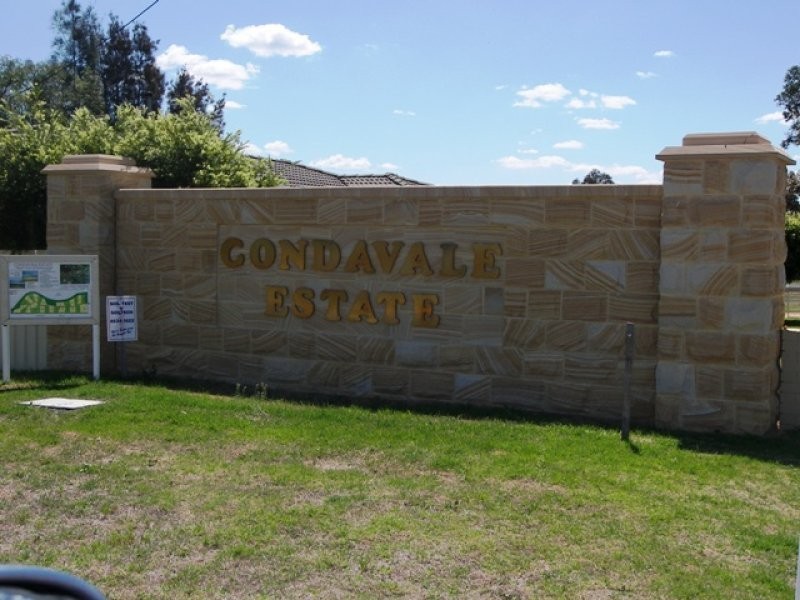
There are approximately 17,238 people living in Warwick but… who are they?
40
48%
52%
Suburb Stats
$884/WK
$215/WK
$325/WK
Value of property in Warwick and nearby suburbs
Warwick
Roma
Pratten
Booroobin
Average Home Price$314,784Average Rental Price$252Household Size2.5
Average Home Price$369,082Average Rental Price$382Household Size2.6
Average Home Price$279,167Average Rental Price$236Household Size2.5
Average Home Price$1,105,833Average Rental Price$335Household Size2.3
Water Useper year per person
0.62mln. litres
State Average 0.68 mln. litres
Nat. Average 0.74 mln. litres
Greenhouse Pollutionper year per person
17.3tonnes
State Average 18.38 tonnes
Nat. Average 20.3 tonnes
Dwelling Types
91%
6%
2%
Most Common Suburb Professions
16% Labourers…
14% Technicia…
13% Managers…
12% Clerical…
Nearby shopping: village shopping centre, rose city shopping world centre management
Nearby schools: st mary's primary school, killarney school of dance, warwick state high school, aikido aiki kai warwick - southern queensland
Nearby cafes: the cherry tree coffee & dining, brysons place, char-belas restaurant
Nearby doctors: southern downs dental - dr. mike geisel, condamine medical centre - dr evan ackermann, condamine medical centre - dr john kiss, condamine medical centre - dr louise clarke
Nearby hospitals: condamine medical centre, southern downs district health services
Nearby cinemas: warwick twin cinema
Nearby pharmacies: warwick friendly society pharmacy, discount drug store, john duggan amcal chemist, warwick friendly society pharmacies
Nearby police stations: warwick police station
Nearby parks: tullock park, leslie park, australiana park, kahlers oasis caravan park
Nearby restaurants: warwick rsl services & citizens memorial club, char-belas restaurant, shalimar indian restaurant, hungry jack's warwrick