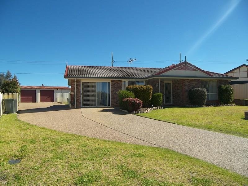
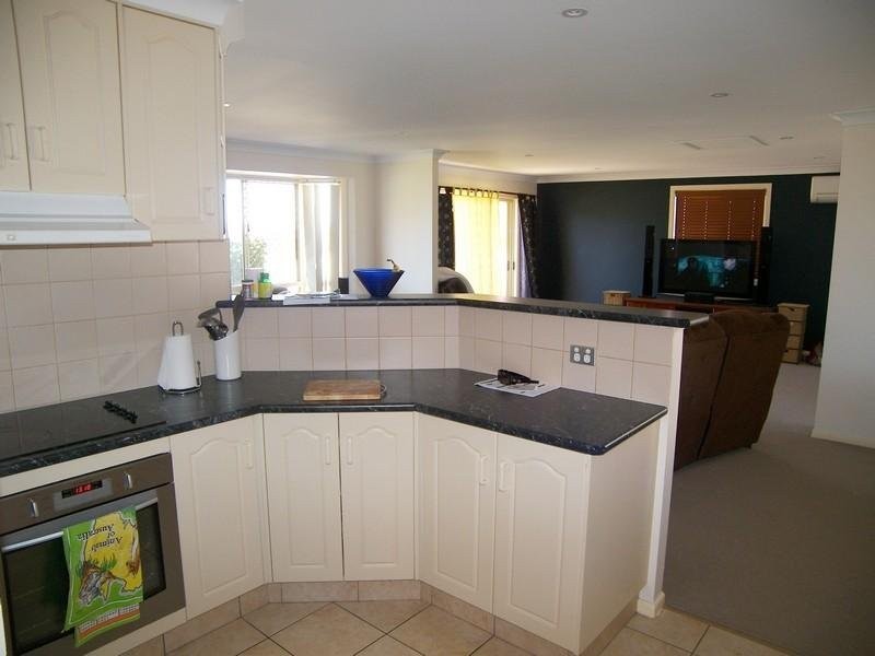
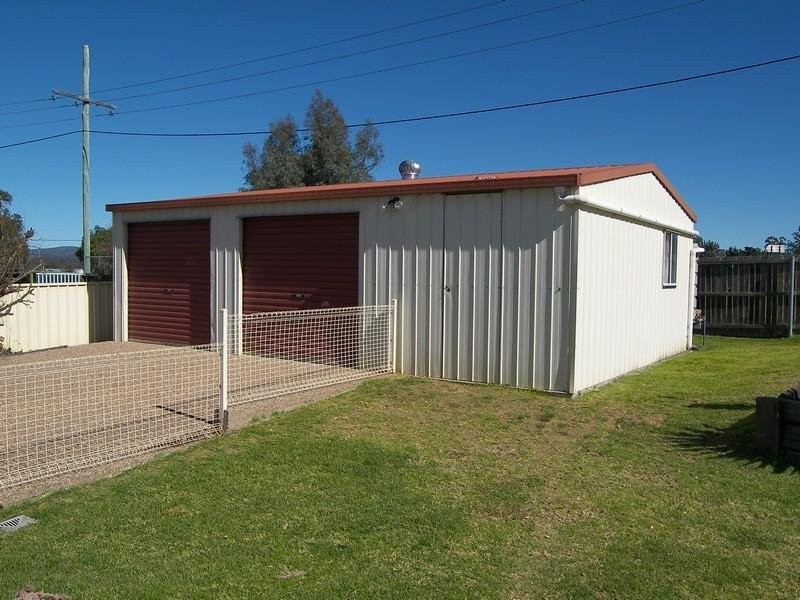
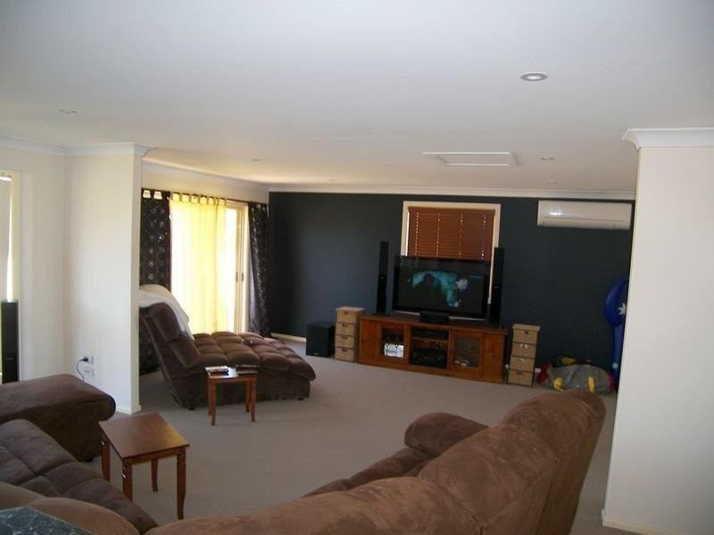
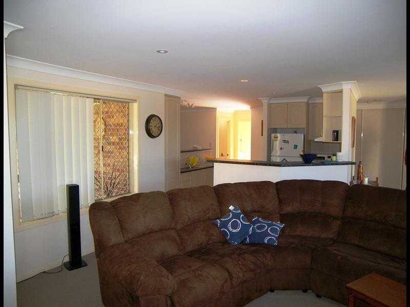
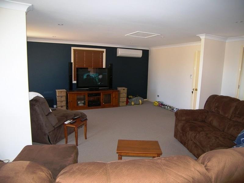
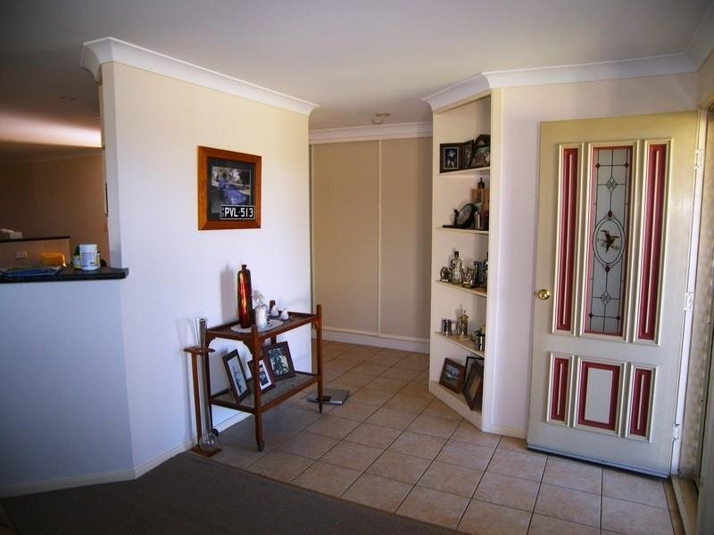
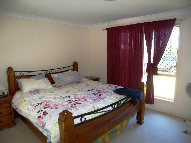
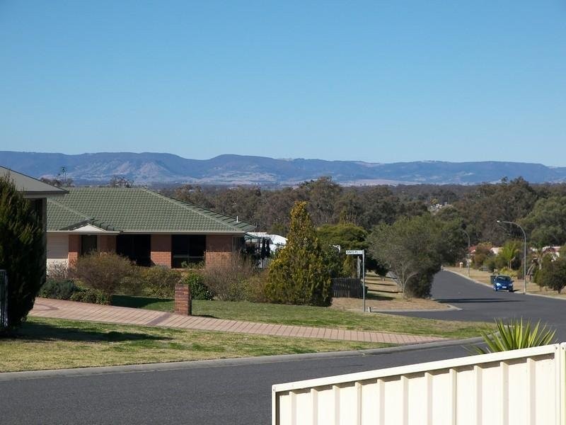
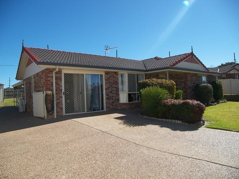
There are approximately 17,238 people living in Warwick but… who are they?
40
48%
52%
Suburb Stats
$884/WK
$215/WK
$325/WK
Value of property in Warwick and nearby suburbs
Warwick
Yarraman
Upper Yarraman
Cypress Gardens
Average Home Price$314,784Average Rental Price$252Household Size2.5
Average Home Price$226,898Average Rental Price$217Household Size2.3
Average Home Price$255,000Average Rental Price$239Household Size2.3
Average Home Price$211,225Average Rental Price$0Household Size2.5
Water Useper year per person
0.62mln. litres
State Average 0.68 mln. litres
Nat. Average 0.74 mln. litres
Greenhouse Pollutionper year per person
17.3tonnes
State Average 18.38 tonnes
Nat. Average 20.3 tonnes
Dwelling Types
91%
6%
2%
Most Common Suburb Professions
16% Labourers…
14% Technicia…
13% Managers…
12% Clerical…
Nearby shopping: rose city shopping world centre management, village shopping centre
Nearby schools: glennie heights preschool, warwick state high school, warwick community kindergarten, a country garden early childhood centres
Nearby cafes: brysons place, char-belas restaurant, the cherry tree coffee & dining
Nearby doctors: condamine medical centre - dr louise clarke, firm foundations podiatry, queensland vascular: dr toby cohen, condamine medical centre - dr aleta slattery
Nearby hospitals: condamine medical centre, southern downs district health services
Nearby cinemas: warwick twin cinema
Nearby pharmacies: warwick friendly society pharmacies, john duggan amcal chemist, warwick friendly society pharmacy, discount drug store
Nearby police stations: warwick police station
Nearby parks: leslie park, australiana park, victoria park, tullock park