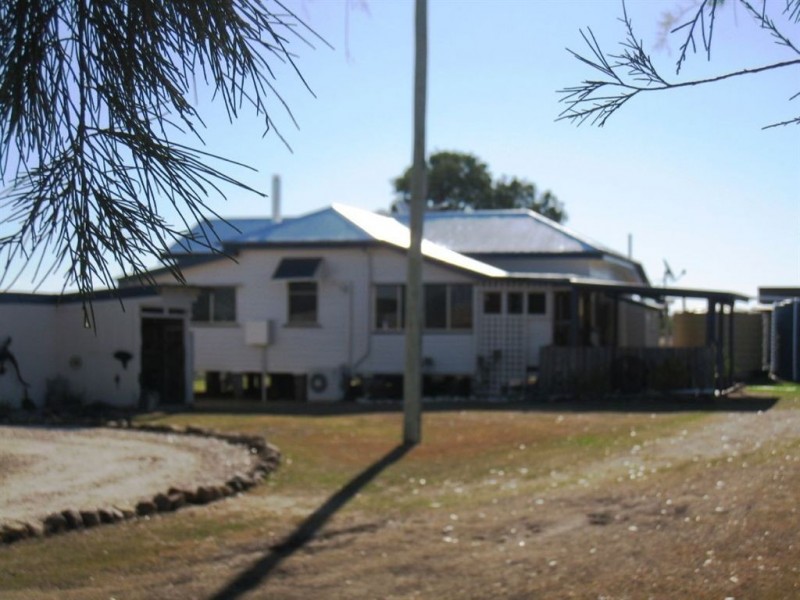
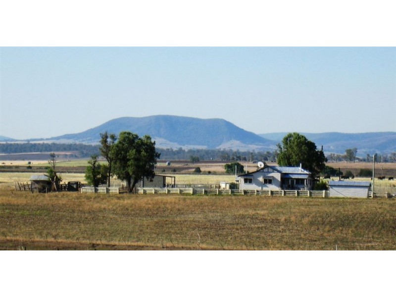
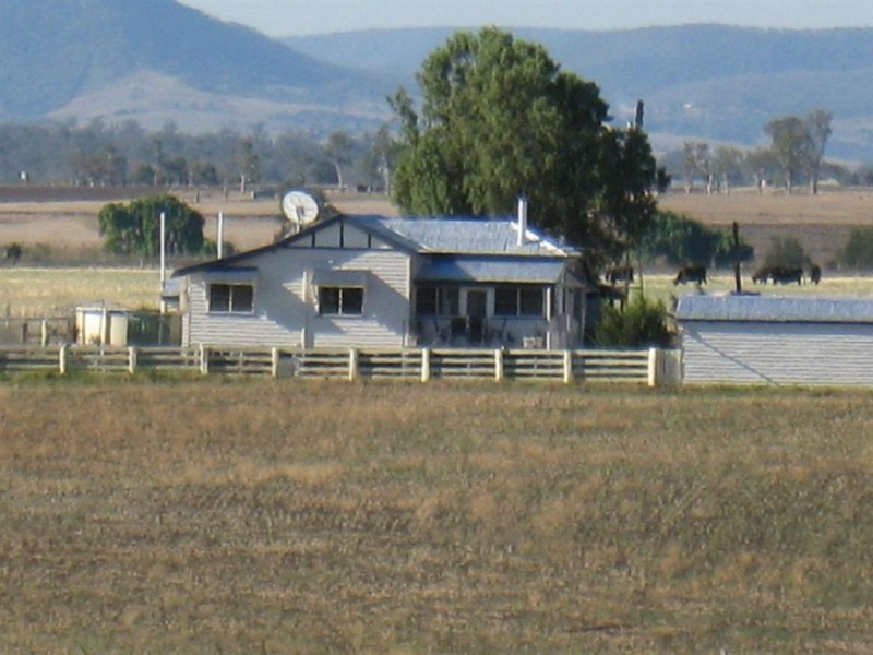
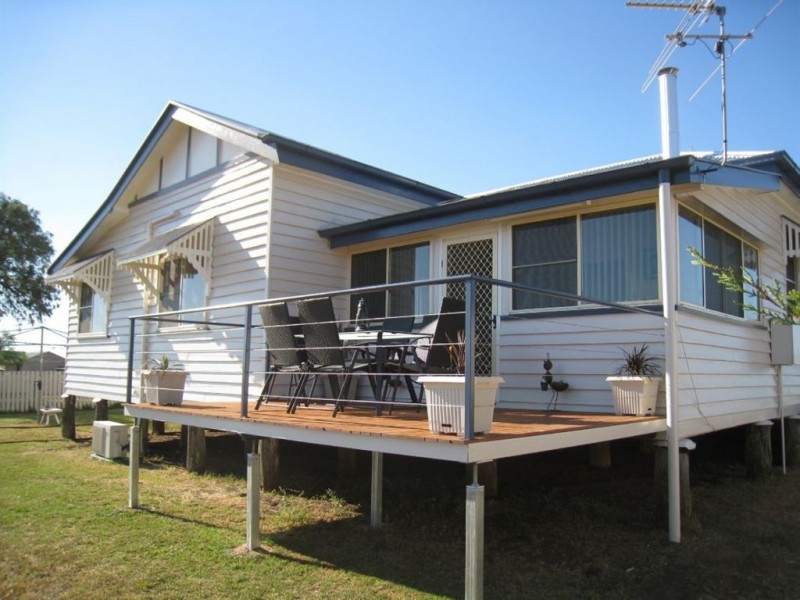
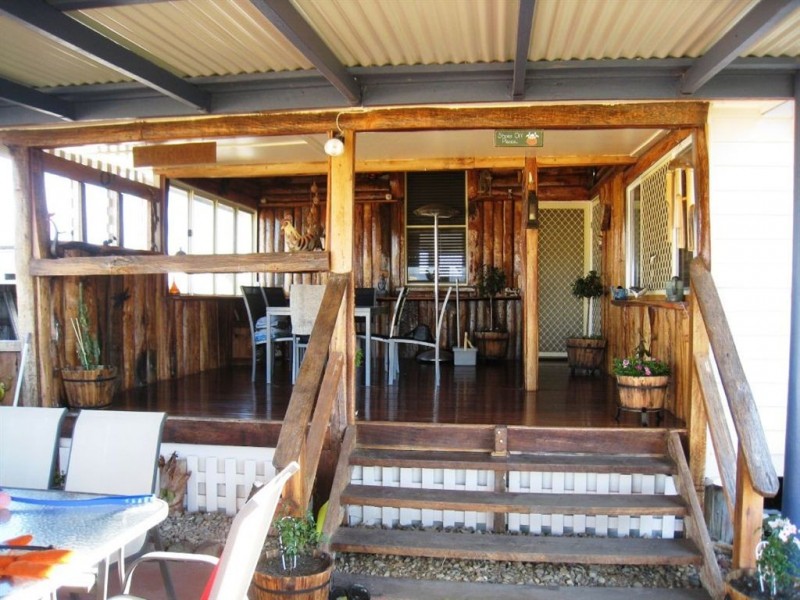
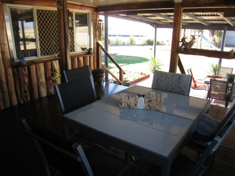
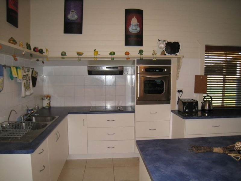
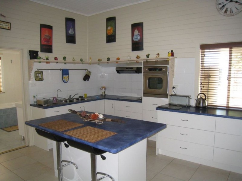
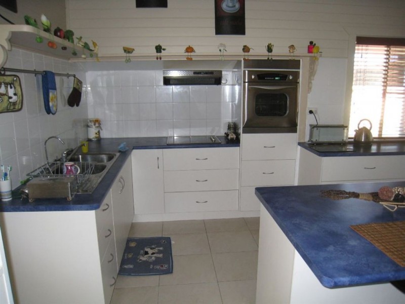
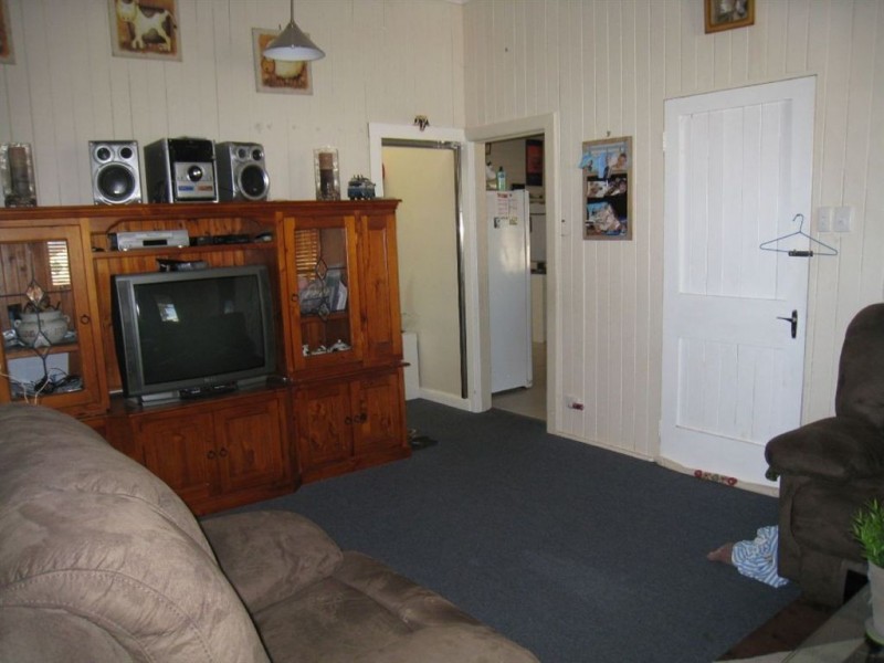
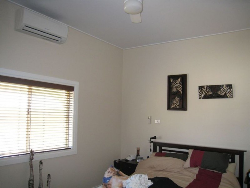
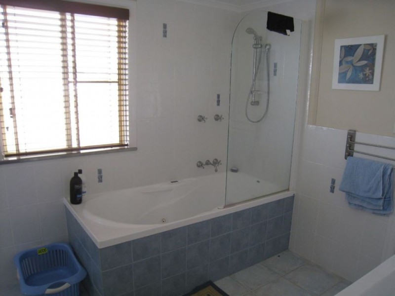
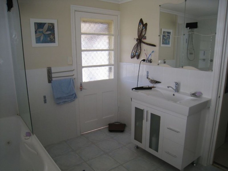
There are approximately 17,238 people living in Warwick but… who are they?
40
48%
52%
Suburb Stats
$884/WK
$215/WK
$325/WK
Value of property in Warwick and nearby suburbs
Warwick
Stanthorpe
Booroobin
Yarraman
Average Home Price$314,784Average Rental Price$252Household Size2.5
Average Home Price$310,018Average Rental Price$251Household Size2.3
Average Home Price$1,105,833Average Rental Price$335Household Size2.3
Average Home Price$226,898Average Rental Price$217Household Size2.3
Water Useper year per person
0.62mln. litres
State Average 0.68 mln. litres
Nat. Average 0.74 mln. litres
Greenhouse Pollutionper year per person
17.3tonnes
State Average 18.38 tonnes
Nat. Average 20.3 tonnes
Dwelling Types
91%
6%
2%
Most Common Suburb Professions
16% Labourers…
14% Technicia…
13% Managers…
12% Clerical…
Nearby shopping: village shopping centre, rose city shopping world centre management
Nearby schools: aikido aiki kai warwick - southern queensland, warwick community kindergarten, a country garden early childhood centres, glennie heights preschool
Nearby cafes: the cherry tree coffee & dining, brysons place, char-belas restaurant
Nearby doctors: condamine medical centre-dr lynton hudson, doolan d, warwick dental, condamine medical centre - dr john kiss
Nearby hospitals: southern downs district health services, condamine medical centre
Nearby cinemas: warwick twin cinema
Nearby pharmacies: discount drug store, warwick friendly society pharmacies, warwick friendly society pharmacy, john duggan amcal chemist
Nearby police stations: warwick police station
Nearby parks: kahlers oasis caravan park, leslie park, hamilton oval, tullock park
Nearby restaurants: the cherry tree coffee & dining, char-belas restaurant, mango camping, brysons place