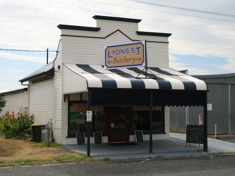
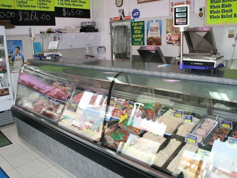
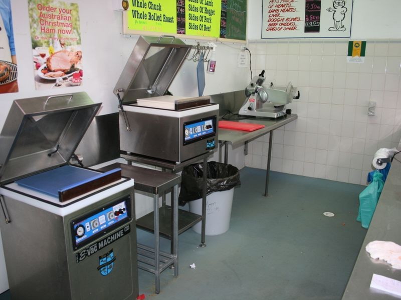
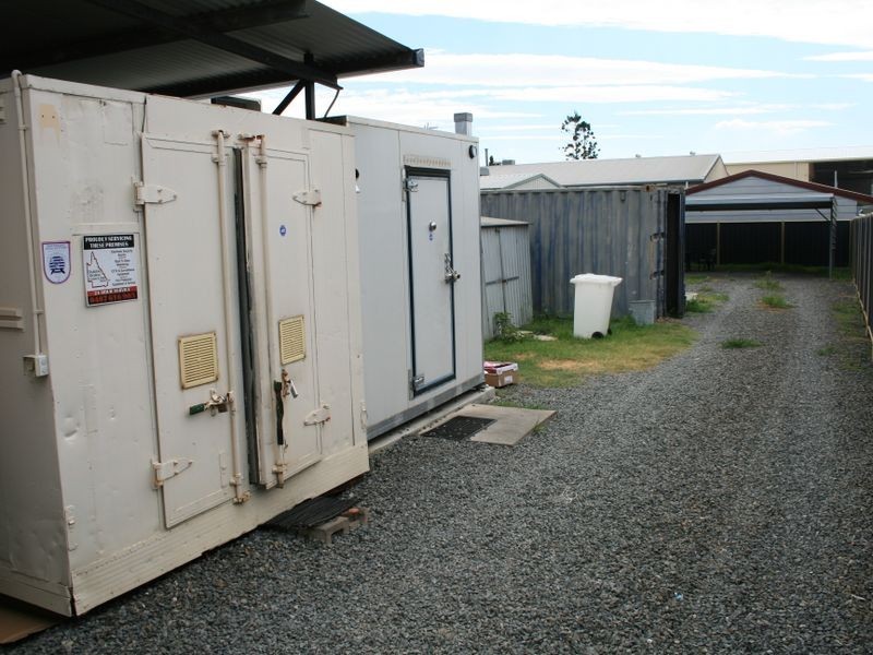
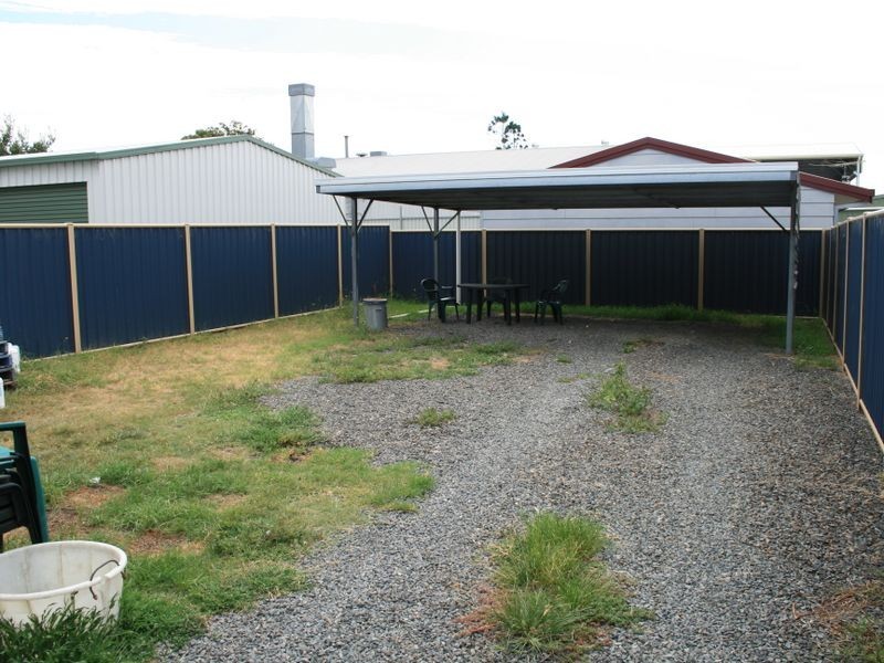
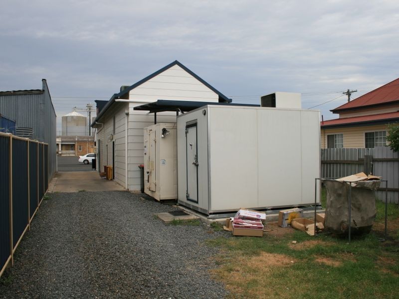
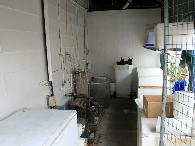
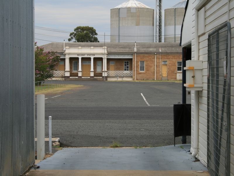
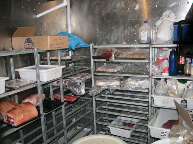
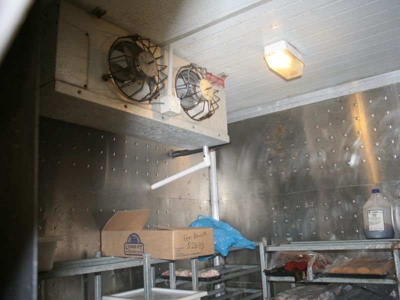
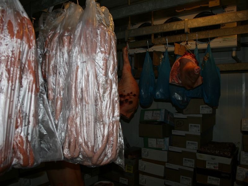
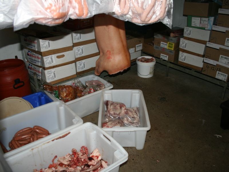
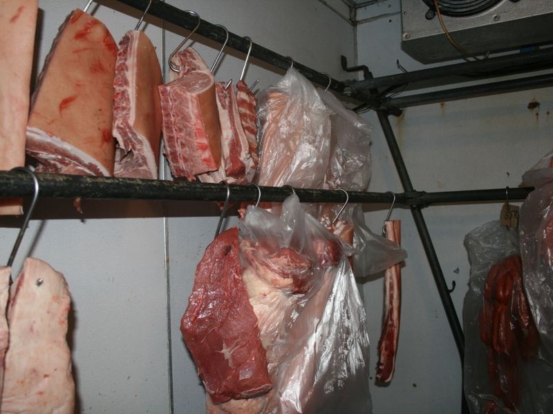
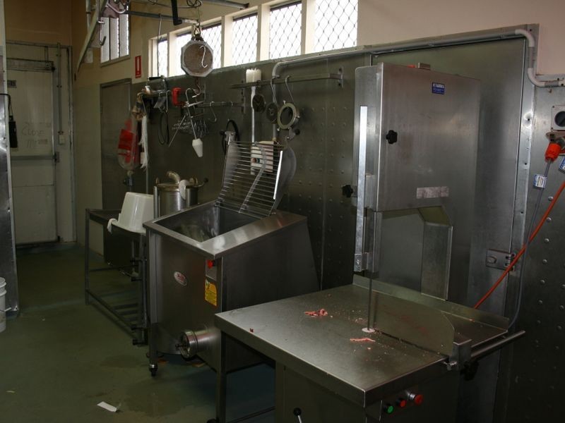
There are approximately 17,238 people living in Warwick but… who are they?
40
48%
52%
Suburb Stats
$884/WK
$215/WK
$325/WK
Value of property in Warwick and nearby suburbs
Warwick
Wondai
Booroobin
Jimboomba
Average Home Price$314,784Average Rental Price$252Household Size2.5
Average Home Price$241,838Average Rental Price$217Household Size2.3
Average Home Price$1,105,833Average Rental Price$335Household Size2.3
Average Home Price$486,907Average Rental Price$412Household Size3.2
Water Useper year per person
0.62mln. litres
State Average 0.68 mln. litres
Nat. Average 0.74 mln. litres
Greenhouse Pollutionper year per person
17.3tonnes
State Average 18.38 tonnes
Nat. Average 20.3 tonnes
Dwelling Types
91%
6%
2%
Most Common Suburb Professions
16% Labourers…
14% Technicia…
13% Managers…
12% Clerical…
Nearby shopping: village shopping centre, rose city shopping world centre management
Nearby schools: warwick state high school, glennie heights state school, glennie heights preschool, agnew school
Nearby cafes: the cherry tree coffee & dining, brysons place, char-belas restaurant
Nearby doctors: granite belt dental, condamine medical centre - dr evan ackermann, condamine medical centre-dr lynton hudson, condamine medical centre - dr ross hetherington
Nearby hospitals: southern downs district health services, condamine medical centre
Nearby cinemas: warwick twin cinema
Nearby pharmacies: john duggan amcal chemist, warwick friendly society pharmacies, discount drug store, warwick friendly society pharmacy
Nearby police stations: warwick police station
Nearby parks: leslie park, warwick bowling club inc, kahlers oasis caravan park, victoria park
Nearby restaurants: red rooster warwick rose city foodcourt, domino's pizza warwick, brysons place, char-belas restaurant